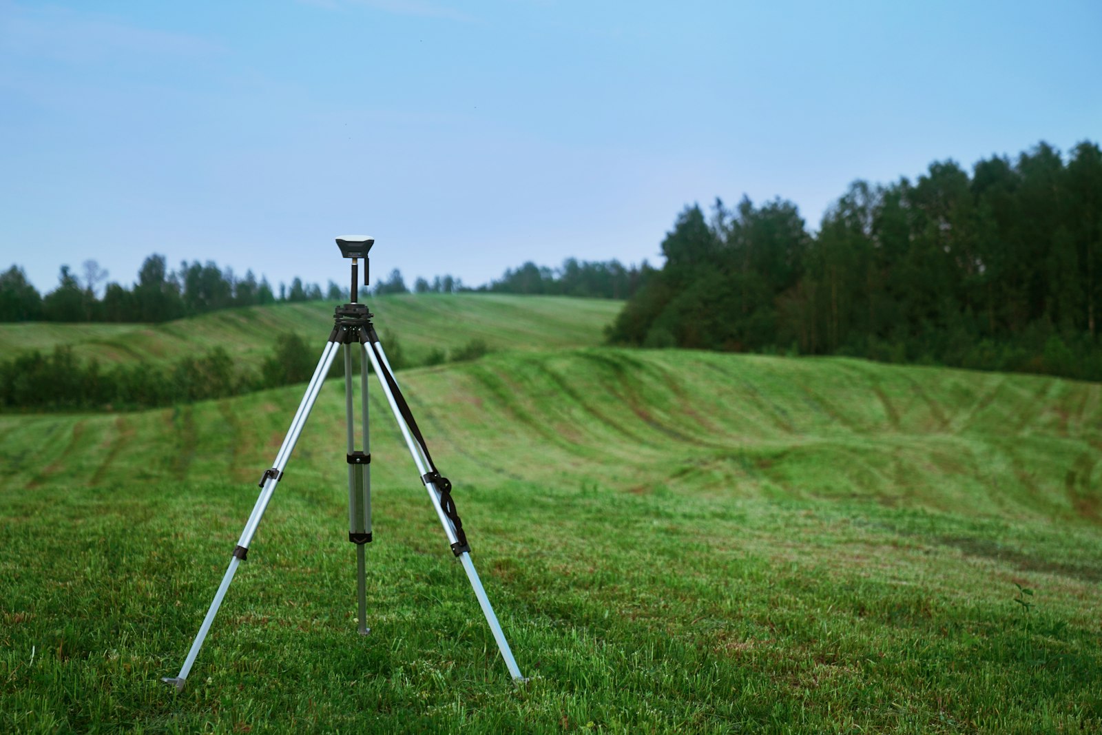
Survey and mapping
Topographic and bathymetric survey, utility tracing and aerial mapping for island, coastal and lagoon sites.
Accurate levels and positions underpin design, quantities and permits. We survey land and seabed, and find what is buried before anyone digs.
Topographic survey
Levels, features and boundaries for design and setting-out, tied to survey control in line with the Maldives Land and Survey Authority guidelines.
Bathymetric survey
Seabed levels across lagoons, harbour basins, channels and borrow areas, for marine design, dredging volumes and reclamation permits.
Utility tracing
Locating buried cables and pipes before excavation or drilling.
Aerial mapping
Drone photogrammetry for site plans, orthomosaics and progress records.
Deliverables
- Survey drawings
- Bathymetric data and charts
- Orthomosaics and site maps
- Utility plans
Planning an island project? Let's scope it right.
Tell us about your site and we will propose the right investigation, testing, survey and reporting for your design and construction stage.